Maritime Weather Intelligence
Navigate Weather, Optimize Routes
AI-powered forecasting, intelligent route optimization, and severe weather alerts — built for vessel operators who need precision at sea.
Features
Everything you need for maritime weather
Replace manual weather monitoring and scattered forecast tools with intelligent automation that keeps your fleet safe.
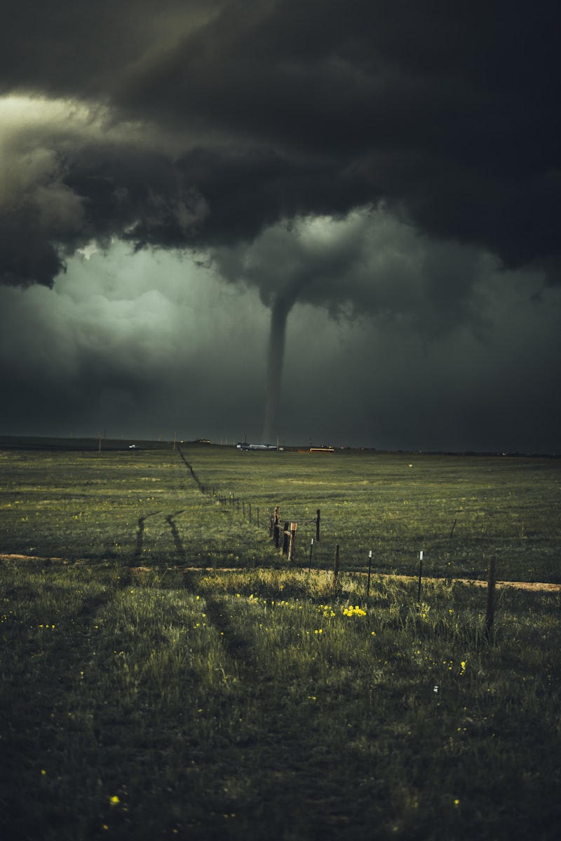
Weather Intelligence
Real-Time Weather Visualization
Interactive weather maps with live data layers
- Wind particle animation over ocean basins
- Wave height contours with temporal blending
- Precipitation radar with smart drop rendering
- 14-day forecast timeline with 6-hour resolution
Voyage Optimization
Weather-Aware Route Planning
Isochrone routing finds the fastest, safest path
- AI-powered isochrone routing through weather fields
- Multi-objective cost: time + fuel + safety
- Vessel-specific speed models for 5 ship types
- Compare optimized vs great circle with savings breakdown
Route Optimization
HKG → MNL
OPTIMIZED
Distance
0 nm
Time
0h
Fuel Saved
0%
Great Circle42.6 MT
Optimized Route25.6 MT
Fuel Consumption Comparison
Great CircleOptimized
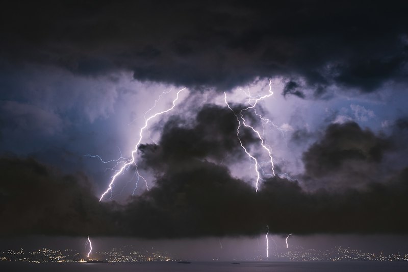
Alerts & Briefings
Never Miss Severe Weather
Automated monitoring and AI-powered intelligence
- Corridor-based severe weather alerts
- Threshold triggers for wave height and wind speed
- AI-generated daily weather briefings
- Full voyage corridor weather extraction
The Platform
How MarinaWeather works
Every piece of your weather intelligence flows through one platform
GFS Forecasts
Global 0.25° grid
FCN3 AI Model
14-day predictions
Ocean Data
Waves, currents, SST
MarinaWeatherHub
Weather Maps
Interactive layers
Route Optimization
Isochrone routing
Severe Alerts
Threshold monitoring
Daily Briefings
AI-generated reports
Inputs
GFS Forecasts
Global 0.25° grid
FCN3 AI Model
14-day predictions
Ocean Data
Waves, currents, SST
MarinaWeather Hub
Outputs
Weather Maps
Interactive layers
Route Optimization
Isochrone routing
Severe Alerts
Threshold monitoring
Daily Briefings
AI-generated reports
Route Intelligence
See the difference weather routing makes
Compare AI-optimized routes against great circle paths in real time
Route Comparison
SGP → TYO
OPTIMIZED
Great Circle
Distance
0nm
Time
0h
Fuel
0.0MT
Weather Optimized
Distance
0nm
Time
0h
Fuel
0.0MT
Great Circle Fuel0.0 MT
Optimized Fuel0.0 MT
Route Savings
0.0 MT fuel saved · 0h faster · avoiding Typhoon Megi
Ready to navigate smarter?
Stop relying on manual weather checks. Start with AI-powered maritime weather intelligence.